Items Similar to PERU
Want more images or videos?
Request additional images or videos from the seller
1 of 10
Johannes JanssonPERUc. 1635
c. 1635
About the Item
JOHANNES JANSSON (1588 - 1664)
PERU, engraving with early coloring. Platemark 15 1/8 x 19 3/8 inches, sheet 17 x 20 1/2
A nice example of one of the earliest maps of Peru. From the Mercater / Hondius Atlas engraved in the lower left Amstelodami Apud Ioannem Ianffonium (Amsterdam the work of Johannes Jansson). Nice cartouche and with sailing ships and whales at the bottom. In generally good condition, the usual centerfold, some slight tone to the paper. Remains of a vertical fold to the right of the centerfold. French text verso.
Maps, Americana, South America, Gold, Exploration
- Creator:Johannes Jansson (1729 - 1784, Dutch)
- Creation Year:c. 1635
- Dimensions:Height: 15.125 in (38.42 cm)Width: 19.375 in (49.22 cm)
- Medium:
- Movement & Style:
- Period:1630-1639
- Condition:
- Gallery Location:Santa Monica, CA
- Reference Number:1stDibs: LU41138232782
Johannes Jansson
Jan Jansson or Johannes Janssonius (1588-1664) was born in Arnhem, Holland. His father was a printer and bookseller. In 1612 he married a Hondius daughter and became part of the prominent cartographic and publishing family business. He published his first map on his own in 1616. He partnered with his brother-in-law, the famous cartographer Henricus Hondius. They published their Atlas Major in eleven volumes. He also worked on newer editions of earlier Mercator/Hondius atlases. He published Jansson's English Country Maps in 1646. His brother-in-law continued the business following Jansson's death in 1664. Abraham Goos (1590-1643) was a Dutch engraver of maps, sea charts, and globes, based initially in Antwerp and later in Amsterdam. The majority of his work was on maps created by Joannes Jansson, Jocodus Hondius, and John Speed.
About the Seller
5.0
Recognized Seller
These prestigious sellers are industry leaders and represent the highest echelon for item quality and design.
Platinum Seller
These expertly vetted sellers are 1stDibs' most experienced sellers and are rated highest by our customers.
Established in 1977
1stDibs seller since 2016
266 sales on 1stDibs
Typical response time: <1 hour
Associations
International Fine Print Dealers Association
- ShippingRetrieving quote...Ships From: Santa Monica, CA
- Return PolicyA return for this item may be initiated within 7 days of delivery.
More From This SellerView All
- WORLD MAP - Planisphaerium Terrestre Sive Terrarum Orbis... 1696By Carel AllardLocated in Santa Monica, CACAREL ALLARD (1648 – 1709) PLANISPHAERIUM TERRESTRE SIVE TERRARUM ORBIS… 1696 (Shirley 578) Engraving, 20 ½ x 23 ½”, sheet 21 x 24 1/8". A stunning double hemisphere World Map...Category
17th Century Old Masters Landscape Prints
MaterialsEngraving
- AMERICABy John SpeedLocated in Santa Monica, CAIMPORTANT AMERICAN MAP - ONE OF THE FIRST TO SHOW CALIFORNIA as an ISLAND JOHN SPEED (1552-1629) AMERICA - With Those Known Parts In That Unknown Worlde (sic), 1626-(76) (Burden 217 iv/iv) Engraving, uncolored. Engraved by Abraham Goos and published by Thomas Basset and Richard Chiswell - 4th state of 4 in 1676 15 1/8 x 20 1/2” From “A Prospect of the Most Famous Parts of the World”. Generally good condition. A repaired split in lower centerfold. This is the most common version of this important map...Category
1620s Old Masters Landscape Prints
MaterialsEngraving
- The Deluge - JOSEPH MALLORD WILLIAM TURNER (1775 - 1851)By Joseph Mallord William TurnerLocated in Santa Monica, CA(after) JOSEPH MALLORD WILLIAM TURNER (1775 - 1851) THE DELUGE, 1828. Mezzotint, Engraved by I. P. Quilly after a painting by J. M.W. Turner R.A.. Image ...Category
1820s Old Masters Landscape Prints
MaterialsMezzotint
- New Map of the Terraqueous Globe - WORLD MAP - CALIFORNIA AS AN ISLANDBy Edward WellsLocated in Santa Monica, CAEDWARD WELLS (British 1667- 1727) A NEW MAP of the TERRAQUEOUS GLOBE - according to the latest Discoveries and most general Divisions of it into CONTINENTS and OCEANS, 1700-01 (Shirley 609) Engraved by Michael Burghers, Oxford. Hand-colored, Platemark 14 1/4 x 20 1/8 inches. Central cartouche flanked by figures representing the continents with dedication to William, Duke of Gloucester...Category
Early 1700s Old Masters Landscape Prints
MaterialsEngraving
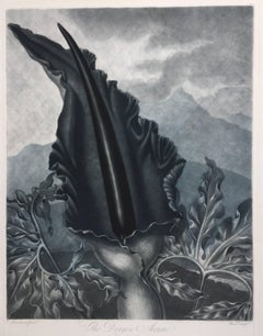
- THE DRAGON ARUMBy Dr. Robert John ThorntonLocated in Santa Monica, CADR. ROBERT JOHN THORNTON (circa 1768- 1837) THE DRAGON ARUM, 1801 (Dunthorne plate 161, pg. 250 i/iii; Nissen 1 955) Mezzotint printed in Payne's grey...Category
Early 1800s Old Masters Landscape Prints
MaterialsMezzotint
- AMERICAE - Sive Novi Orbis, Nova DescriptioBy Abraham OrteliusLocated in Santa Monica, CAABRAHAM ORTELIUS (1527 - 1598) AMERICAE SIVE NOVI ORBIS, NOVA DESCRIPTIO, 1587 (1603) (Van Den Broecke 11, Burden 64; Schwartz & Ehrenberg 69) Engraving. A very good, well printed...Category
16th Century Old Masters Landscape Prints
MaterialsEngraving


You May Also Like
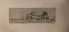
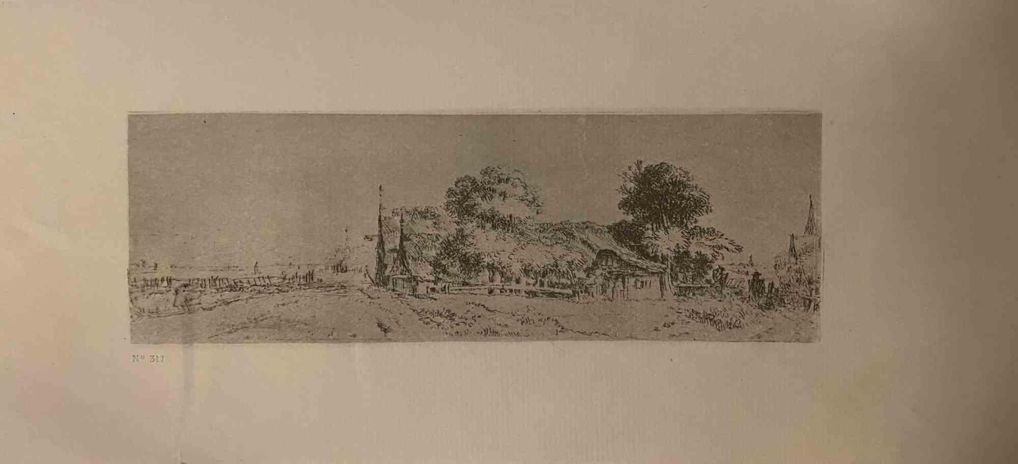
- Landscape - Engraving after Rembrandt - 19th CenturyBy Charles Amand DurandLocated in Roma, ITLandscape is an engraving on ivory-colored paper realized by Charles Amand Durand (1831-1905) after an etching by Rembrandt. This wonderful piece of art belongs to a late edition of ...Category
19th Century Old Masters Figurative Prints
MaterialsEngraving
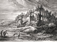
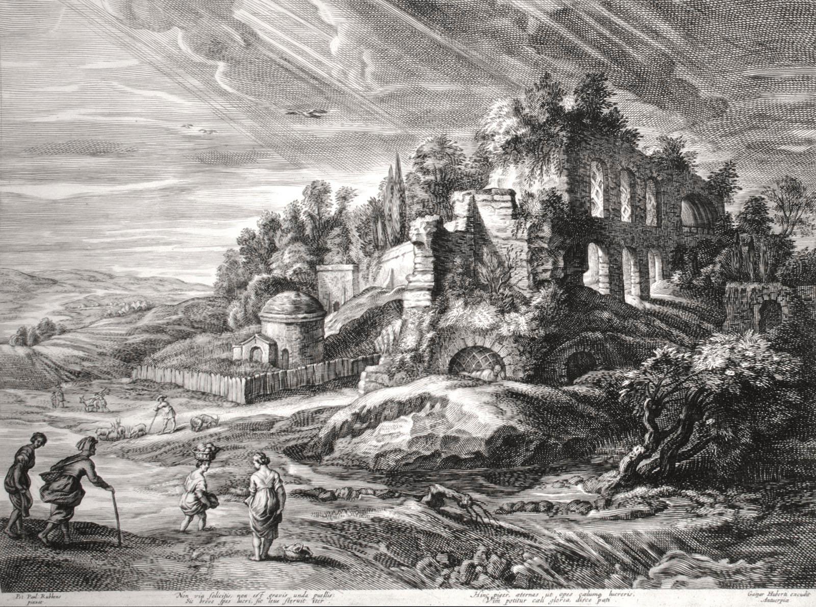
- Landscape with Roman RuinsBy (After) Peter Paul RubensLocated in Chicago, ILEngraving after Peter Paul Rubens (Siegen 1577 - 1640 Antwerp), executed by Schelte Adams Bolswert (Bolsward c. 1586 -1659 Antwerp). Bolswert was one of the major printmakers in the ...Category
17th Century Old Masters Landscape Prints
MaterialsEngraving
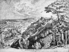
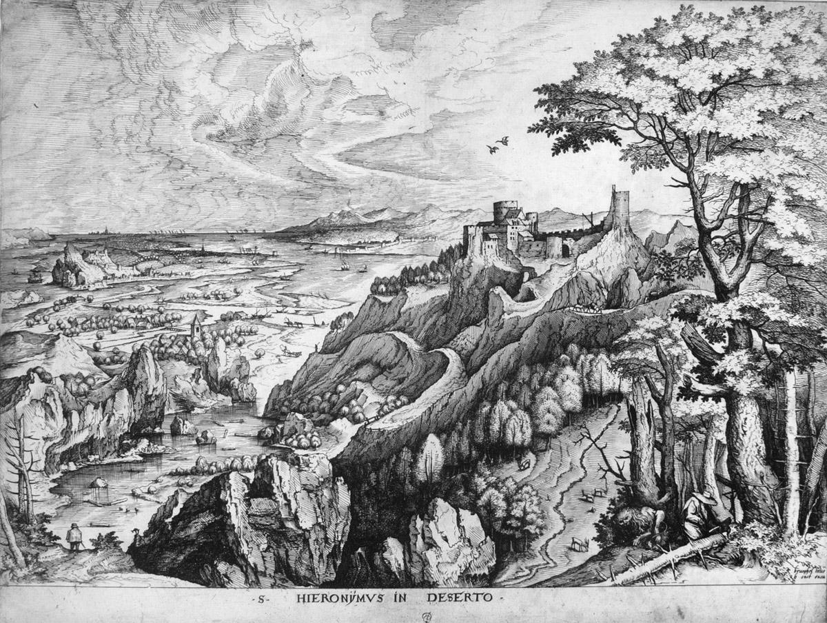
- St. Jerome in the DesertLocated in Chicago, ILEngraving by Joannes and Lucas van Doetecum (Deventer active by 1551 - circa 1569 Haarlem) in the manner of Peter Bruegel the ElderCategory
16th Century Old Masters Landscape Prints
MaterialsEngraving
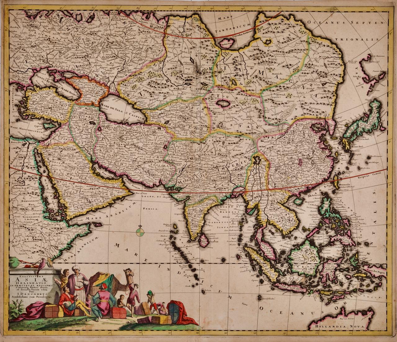
- Asia Declineatio: A 17th Century Hand-colored Map of Asia by Justus DanckertsLocated in Alamo, CAThis is a scarce 17th century beautifully hand-colored copperplate engraved map of Asia entitled “Exactissima Asiae Delineatio in Praecipuas Regiones Caerterasque Partes divisa et de...Category
Late 17th Century Old Masters Landscape Prints
MaterialsEngraving
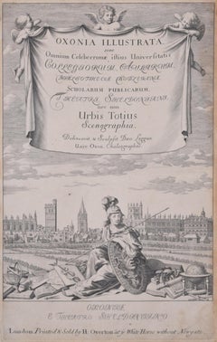
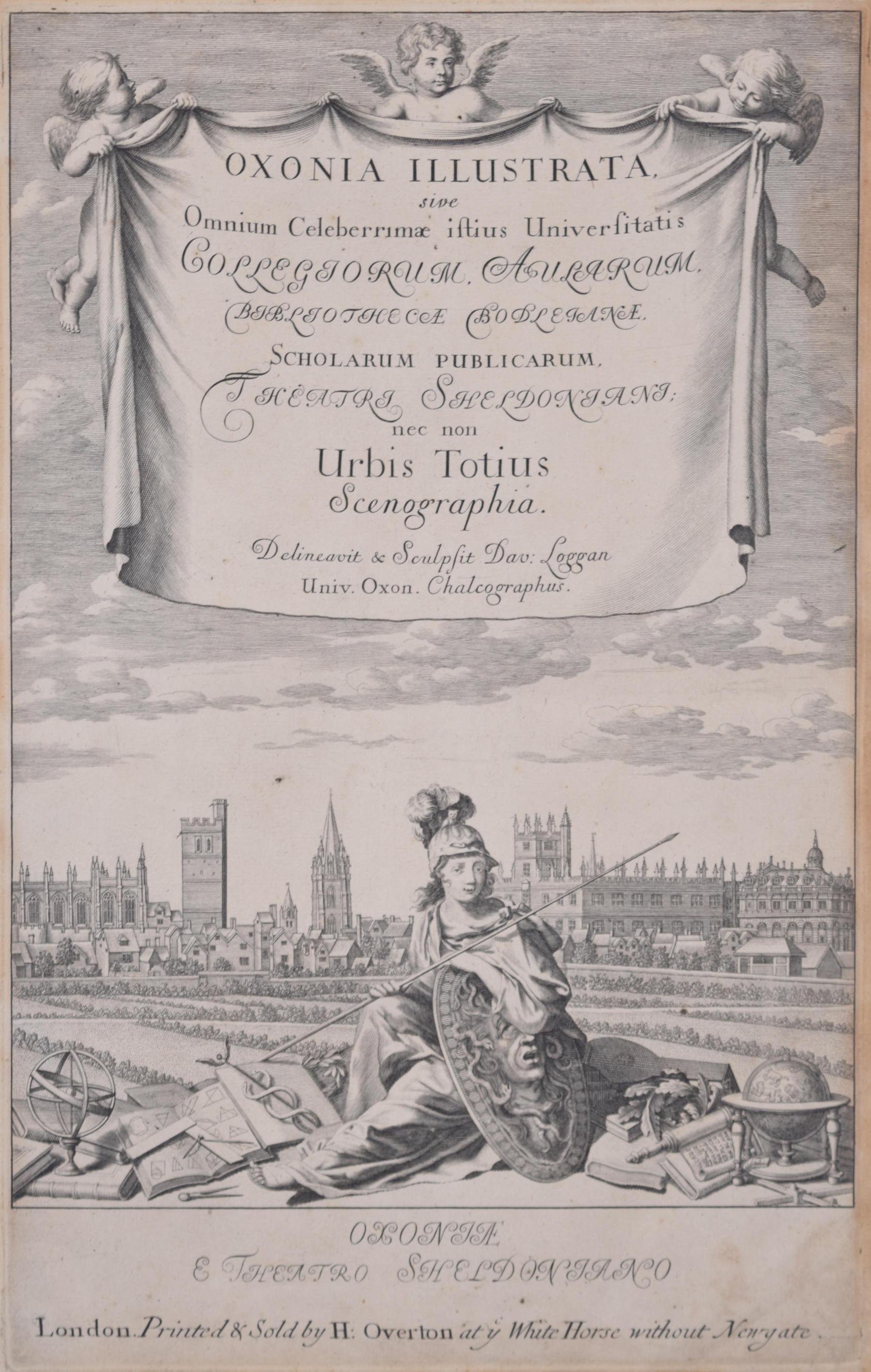
- University of Oxford Oxonia Illustrata 1675 engraving by David LogganBy David LogganLocated in London, GBTo see our other views of Oxford and Cambridge, scroll down to "More from this Seller" and below it click on "See all from this Seller" - or send us a message if you cannot find the ...Category
1670s Old Masters Prints and Multiples
MaterialsEngraving
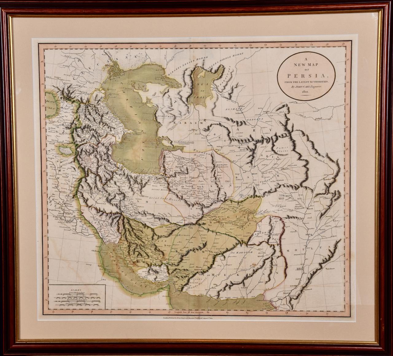
- Persia & Afghanistan: A Framed Hand-colored 17th Century Map by John CaryBy John CaryLocated in Alamo, CAThis colorful and detailed early 18th century copperplate map by John Cary entitled "A New Map of Persia from the Latest Authorities" was published in London in 1801. It depicts Persia, the region of modern day Afghanistan, the Caspian Sea, the Sea of Aral, the Persian Gulf...Category
Early 19th Century Old Masters More Prints
MaterialsEngraving